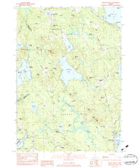
1983 Map of North Sebago
USGS Topo · Published 1984About this map
Peabody Pond dominates the central landscape of this western Maine region, surrounded by a complex network of glacial hills and smaller water bodies such as Barker Pond and Browns Pond. The 1983 survey records a transitional period where traditional land uses like the Bridgton Town Farm and numerous sand and gravel pits exist alongside recreational developments like Camp Pondicherry and Camp Winaco.
Find a feature on this map
107 named features on this map. Tap any name to fly to it.
Don’t see what you’re looking for? This feature index may not catch every label — zoom into the map to look around manually.
Map Details
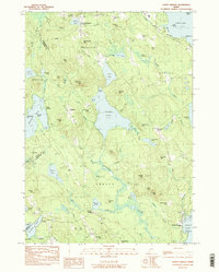
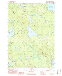
Editions of this 1983 North Sebago Map
3 editions found
Other maps of this area

1896 · Norway
USGS Topo · 1:62,500

1896 · Sebago
USGS Topo · 1:62,500

1909 · Fryeburg
USGS Topo · 1:62,500

1910 · Kezar Falls
USGS Topo · 1:48,000

1911 · Fryeburg
USGS Topo · 1:62,500

1911 · Kezar Falls
USGS Topo · 1:62,500

1941 · Fryeburg
USGS Topo · 1:62,500

1942 · Sebago Lake
USGS Topo · 1:62,500

1943 · Sebago Lake
USGS Topo · 1:62,500

1946 · Norway
USGS Topo · 1:62,500