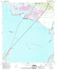
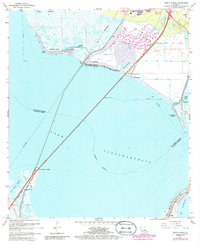
1967 Map of North Shore
USGS Topo · Published 1994About this map
Lake Pontchartrain dominates this coastal landscape, where the marshy wetlands of St. Tammany Parish meet the waters of the sound. The mid-1960s environment is defined by its transition from natural bayous to early suburban and recreational development, seen in the expansion of Slidell and the lakeside communities of North Shore Beach and Howze Beach. The map illustrates a complex network of man-made improvements including a Levee system and multiple drainage channels such as Canal No 6 and Canal No 7 designed to manage the low-lying terrain. Local spiritual and community life is anchored by the North Shore Chapel and Ft Pike Chapel, while the Fields Cem provides a point of genealogical interest. Transport and navigation are highlighted by the Large Craft Passage cutting across the open water, connecting Pointe aux Herbes with the northern coastline near Big Point.
Find a feature on this map
30 named features on this map. Tap any name to fly to it.
Don’t see what you’re looking for? This feature index may not catch every label — zoom into the map to look around manually.
Map Details
Editions of this 1967 North Shore Map
5 editions found
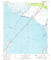
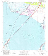
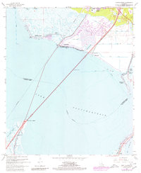
Other maps of this area

1892 · Chef Menteur
USGS Topo · 1:62,500

1893 · Rigolets
USGS Topo · 1:62,500

1914 · Nicholson
USGS Topo · 1:62,500

1921 · Nicholson
USGS Topo · 1:62,500

1935 · Slidell
USGS Topo · 1:62,500

1936 · North Shore
USGS Topo · 1:31,680

1936 · South Point
USGS Topo · 1:31,680

1936 · Chef Menteur
USGS Topo · 1:62,500

1936 · Rigolets
USGS Topo · 1:62,500

1937 · Chef Menteur
USGS Topo · 1:31,680