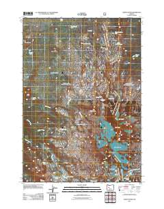
2011 Map of North Sister
USGS Topo · Published 2011About this map
North Sister and Middle Sister dominate this high-elevation landscape, where glacial ice and volcanic geology define the terrain. The eastern face of the peaks is heavily carved by the Linn Glacier, Villard Glacier, and Hayden Glacier, illustrating the persistent ice fields of the High Cascades. To the west, the volcanic history of the region is evident in features like the Obsidian Cliffs and Four in One Cone. This 2011 survey captures the hydrological network feeding out from the peaks, including Obsidian Creek and Linton Creek, which flows through the wide expanse of Linton Meadows. Notable landmarks for navigation through this alpine environment include Scott Pass and Opie Dilldock Pass, alongside numerous high-country water bodies such as Eileen Lake and the Chambers Lakes.
Find a feature on this map
44 named features on this map. Tap any name to fly to it.
Don’t see what you’re looking for? This feature index may not catch every label — zoom into the map to look around manually.
Map Details
Editions of this 2011 North Sister Map
This is the sole edition of this map. No revisions or reprints were ever made.
Other maps of this area
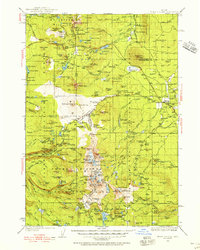
1929 · Three Sisters
USGS Topo · 1:125,000
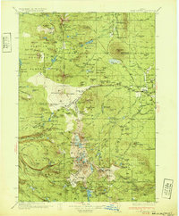
1932 · Three Sisters
USGS Topo · 1:125,000

1955 · Bend
USGS Topo · 1:250,000

1957 · Bend
USGS Topo · 1:250,000
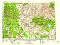
1958 · Bend
USGS Topo · 1:250,000
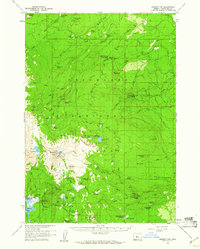
1959 · Broken Top
USGS Topo · 1:62,500
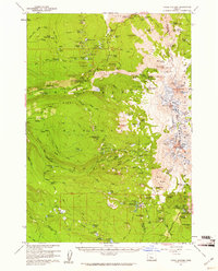
1959 · Three Sisters
USGS Topo · 1:62,500
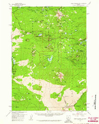
1959 · Three Fingered Jack
USGS Topo · 1:62,500
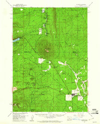
1959 · Sisters
USGS Topo · 1:62,500
1980 · Bend
USGS Topo · 1:100,000