
1959 Map of Broken Top
USGS Topo · Published 1961About this map
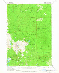
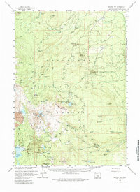
Broken Top and its high-elevation glaciers dominate the western edge of this Deschutes National Forest landscape. In the late 1950s, the area served as a primary recreational and natural resource hub, characterized by a network of backcountry shelters and seasonal camps such as Black Pine Spr Forest Camp and the Swede Ridge Shelter. High-altitude waterways including Green Lakes and Three Creek Lake are fed by the Bend Glacier and Crook Glacier, while lower-elevation features like Dutchman Flat show the transition toward the high desert. Settlement is sparse, anchored by the Egan Memorial Lodge near Sparks Lake. The map reveals the intricate water management of the era, documented through labels for the Highline Ditch and several gauging stations, alongside evidence of volcanic activity at Cayuse Crater and the local Cinder Pit.
Find a feature on this map
89 named features on this map. Tap any name to fly to it.
Don’t see what you’re looking for? This feature index may not catch every label — zoom into the map to look around manually.
Map Details
Editions of this 1959 Broken Top Map
3 editions found
Other maps of this area

1926 · Bend
USGS Topo · 1:125,000

1929 · Bend
USGS Topo · 1:125,000

1929 · Three Sisters
USGS Topo · 1:125,000

1930 · Maiden Peak
USGS Topo · 1:125,000

1931 · Newberry Crater
USGS Topo · 1:125,000

1932 · Three Sisters
USGS Topo · 1:125,000

1934 · Maiden Peak
USGS Topo · 1:125,000

1935 · Newberry Crater
USGS Topo · 1:125,000

1955 · Crescent
USGS Topo · 1:250,000

1955 · Bend
USGS Topo · 1:250,000