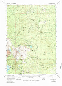
1959 Map of Broken Top
USGS Topo · Published 1984About this map
Broken Top Crater dominates this volcanic landscape of the Deschutes National Forest, where the Bend Glacier and Crook Glacier cling to the high peaks. The 1959 survey reveals an area defined by its alpine hydrology and seasonal camps, with water moving from the Green Lakes and Soda Spring toward the lower elevations of Dutchman Flat. Forest management and recreation infrastructure are well-established, noted by sites like Satan Creek Forest Camp and the Egan Memorial Lodge near the southern boundary. To the north and east, the map traces early water management via the Highline Ditch and Young Ditch, alongside a network of specialized trails such as the Trout Creek Trail and Scott Trail. This record highlights the balance of wilderness and early development, from the Cinder Pit near Melvin Butte to isolated landmarks like Ditch Cabin and several trail shelters.
Find a feature on this map
117 named features on this map. Tap any name to fly to it.
Don’t see what you’re looking for? This feature index may not catch every label — zoom into the map to look around manually.
Map Details
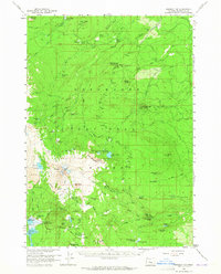
Editions of this 1959 Broken Top Map
3 editions found

Other maps of this area

1926 · Bend
USGS Topo · 1:125,000

1929 · Bend
USGS Topo · 1:125,000

1929 · Three Sisters
USGS Topo · 1:125,000

1930 · Maiden Peak
USGS Topo · 1:125,000

1931 · Newberry Crater
USGS Topo · 1:125,000

1932 · Three Sisters
USGS Topo · 1:125,000

1934 · Maiden Peak
USGS Topo · 1:125,000

1935 · Newberry Crater
USGS Topo · 1:125,000

1955 · Crescent
USGS Topo · 1:250,000

1955 · Bend
USGS Topo · 1:250,000