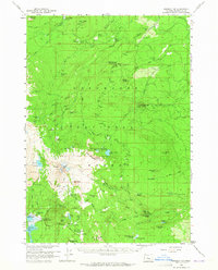
1959 Map of Broken Top
USGS Topo · Published 1965About this map
Deschutes National Forest encompasses the high volcanic terrain of the central Cascades in this late 1950s survey. The landscape is dominated by the glacier-carved peak of Broken Top, which feeds the Bend Glacier and Crook Glacier. These ice fields provide the headwaters for a complex drainage system including Squaw Creek Falls and the South Fork Squaw Creek. Human activity in this wilderness is marked by early recreational and forestry infrastructure, including several remote outposts like Fall Creek Cabin and Ditch Cabin. Forest Service presence is evident through a network of camps such as Black Pine Spr Forest Camp and the Driftwood Forest Camp near the shores of Three Creek Lake. In the southern reaches, the Cascade Highway provides access to the high plateau of Dutchman Flat, while the Egan Memorial Lodge serves as a landmark for early mountain travelers near the base of Tumalo Mtn.
Find a feature on this map
94 named features on this map. Tap any name to fly to it.
Don’t see what you’re looking for? This feature index may not catch every label — zoom into the map to look around manually.
Map Details
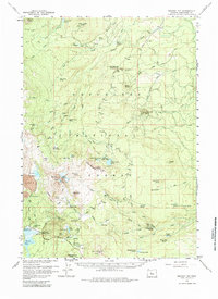
Editions of this 1959 Broken Top Map
3 editions found

Other maps of this area

1926 · Bend
USGS Topo · 1:125,000

1929 · Bend
USGS Topo · 1:125,000

1929 · Three Sisters
USGS Topo · 1:125,000

1930 · Maiden Peak
USGS Topo · 1:125,000

1931 · Newberry Crater
USGS Topo · 1:125,000

1932 · Three Sisters
USGS Topo · 1:125,000

1934 · Maiden Peak
USGS Topo · 1:125,000

1935 · Newberry Crater
USGS Topo · 1:125,000

1955 · Crescent
USGS Topo · 1:250,000

1955 · Bend
USGS Topo · 1:250,000