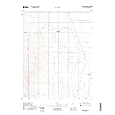
2018 Map of North Spring Point
USGS Topo · Published 2018About this map
The Schell Creek Range dominates the western half of this 2018 survey, rising sharply from the eastern reaches of Spring Valley. This high-altitude Nevada terrain is defined by its drainage patterns and isolated water sources, most notably the seasonal John Henry Wash and the localized Basin Spring at the mountain's base. The map reveals the stark transition between the steep, complex slopes of the range and the wide alluvial flats of the valley, a landscape shaped by the Great Basin's distinct basin-and-range geology. Human presence is minimal, evidenced primarily by the Highline Rd and other rural routes that navigate the valley floor near the landmark North Spring Point. The survey provides an exacting look at the Public Land Survey System divisions, including the boundaries of t13n r66e and t12n r66e, which are critical for tracing historic land claims and grazing rights in this part of White Pine County.
Find a feature on this map
11 named features on this map. Tap any name to fly to it.
Don’t see what you’re looking for? This feature index may not catch every label — zoom into the map to look around manually.
Map Details
Editions of this 2018 North Spring Point Map
This is the sole edition of this map. No revisions or reprints were ever made.
Other maps of this area
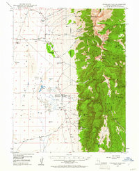
1948 · Wheeler Peak
USGS Topo · 1:62,500
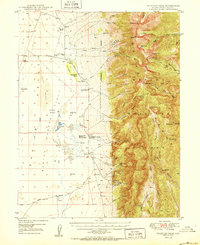
1950 · Wheeler Peak
USGS Topo · 1:62,500
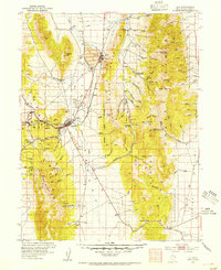
1952 · Ely
USGS Topo · 1:125,000

1956 · Lund
USGS Topo · 1:250,000

1956 · Ely
USGS Topo · 1:250,000

1959 · Ely
USGS Topo · 1:250,000
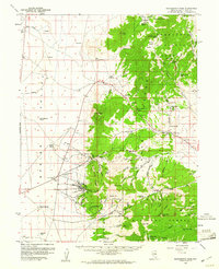
1959 · Sacramento Pass
USGS Topo · 1:62,500
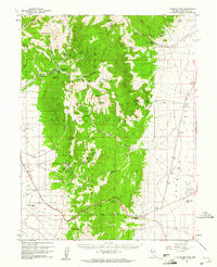
1959 · Connors Pass
USGS Topo · 1:62,500

1960 · Lund
USGS Topo · 1:250,000

1963 · Ely
USGS Topo · 1:250,000