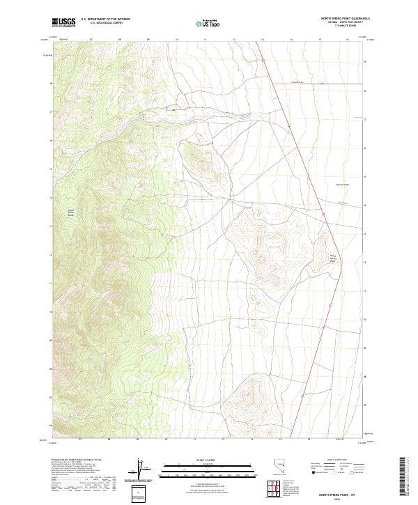
2021 Map of North Spring Point
USGS Topo · Published 2021About this map
The Schell Creek Range dominates the western portion of this terrain, where steep slopes descend toward the expansive Spring Valley to the east. Water sources in this arid landscape are clearly marked, including Basin Spring and the ephemeral drainage of John Henry Wash, which cuts across the central flats. Named landmarks like North Spring Point provide specific geographic anchors within the vast basin-and-range geography. The road network is sparse, defined primarily by Shoshone Rd and Highline Rd, reflecting a landscape managed for ranching or transit rather than dense settlement. This U.S. Geological Survey topographic record captures the area's physical characteristics, showing the relationship between the high ridge lines and the lower valley floors common in this part of Nevada.
Find a feature on this map
13 named features on this map. Tap any name to fly to it.
Don’t see what you’re looking for? This feature index may not catch every label — zoom into the map to look around manually.
Map Details
Editions of this 2021 North Spring Point Map
This is the sole edition of this map. No revisions or reprints were ever made.
Other maps of this area

1948 · Wheeler Peak
USGS Topo · 1:62,500

1950 · Wheeler Peak
USGS Topo · 1:62,500

1952 · Ely
USGS Topo · 1:125,000

1956 · Lund
USGS Topo · 1:250,000

1956 · Ely
USGS Topo · 1:250,000

1959 · Ely
USGS Topo · 1:250,000

1959 · Sacramento Pass
USGS Topo · 1:62,500

1959 · Connors Pass
USGS Topo · 1:62,500

1960 · Lund
USGS Topo · 1:250,000

1963 · Ely
USGS Topo · 1:250,000