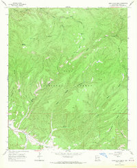
1965 Map of North Star Mesa
USGS Topo · Published 1969About this map
The Continental Divide winds through this high-altitude landscape of the Gila National Forest, defining the rugged drainage patterns that feed into Sapillo Creek and Apache Creek. The map documents a sparsely settled ranching and wilderness area in the mid-1960s, where human presence is marked by isolated outposts like the V Cross Ranch and the open spaces of Gattons Park.
Find a feature on this map
26 named features on this map. Tap any name to fly to it.
Don’t see what you’re looking for? This feature index may not catch every label — zoom into the map to look around manually.
Map Details
Editions of this 1965 North Star Mesa Map
2 editions found
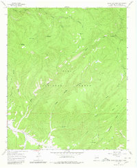
Other maps of this area

1909 · Silver City
USGS Topo · 1:125,000

1911 · Alum Mountain
USGS Topo · 1:125,000

1913 · Alum Mountain
USGS Topo · 1:125,000

1947 · Allie Canyon
USGS Topo · 1:24,000

1947 · Twin Sisters
USGS Topo · 1:24,000

1948 · Twin Sisters
USGS Topo · 1:24,000

1948 · Allie Canyon
USGS Topo · 1:24,000

1954 · Tularosa
USGS Topo · 1:250,000

1954 · Silver City
USGS Topo · 1:250,000

1954 · Clifton
USGS Topo · 1:250,000