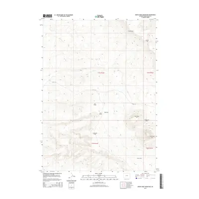
2015 Map of North Table Mountain
USGS Topo · Published 2015About this map
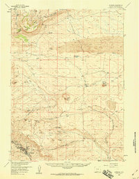
The Continental Divide winds through this high-desert landscape in Sweetwater County, marking a fundamental hydrologic boundary in the American West. This 2015 survey reveals a terrain defined by volcanic landforms and dramatic escarpments, notably North Table Mtn and South Table Mtn within the Leucite Hills range. The map illustrates how human passage is constrained by the natural topography, with Chilton Rd providing one of the few traversable routes through this complex geography. Ephemeral watercourses such as Table Wash, Nitch Cr, and Greasewood Wash drain the slopes of Steamboat Rim and Johnson Gap, highlighting the arid character of the region. This document is a precise record of the public land survey system, showing township and range boundaries including t23n r103w and t22n r103w.
Find a feature on this map
17 named features on this map. Tap any name to fly to it.
Don’t see what you’re looking for? This feature index may not catch every label — zoom into the map to look around manually.
Map Details
Editions of this 2015 North Table Mountain Map
This is the sole edition of this map. No revisions or reprints were ever made.
Other maps of this area

1954 · Rock Springs
USGS Topo · 1:250,000

1955 · Lander
USGS Topo · 1:250,000

1958 · Lander
USGS Topo · 1:250,000

1958 · Rock Springs
USGS Topo · 1:250,000
1958 · Essex Mountain
USGS Topo · 1:62,500
1958 · Boars Tusk
USGS Topo · 1:62,500
1958 · Freighter Gap
USGS Topo · 1:62,500
1958 · Superior
USGS Topo · 1:62,500

1961 · Lander
USGS Topo · 1:250,000

1962 · Rock Springs
USGS Topo · 1:250,000