1970 Map of North Whitefied
USGS Topo · Published 1983About this map
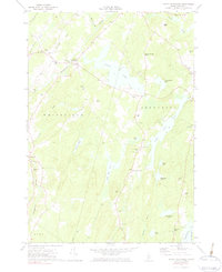
The Sheepscot River and its varied water network define the landscape of Lincoln County in this 1970 study. The settlement of North Whitefield serves as a local hub near the river, characterized by institutional landmarks such as the St Denis Ch, Calvary Cem, and the Whitefield Sch. Further east, the terrain transitions into a dense corridor of ponds and lakes, including the prominent Clary Lake and the elongated Dyer Long Pond. This pattern of scattered rural development is anchored by small community centers like South Jefferson and family-named landmarks like Brooks Turner Hill. The map captures a moment of traditional New England land use where numerous small graveyards, such as Trask Lawn Cem and Hopkins Cem, are situated alongside local brooks and gravel pits, providing a clear record of the area's historic residential footprint.
Find a feature on this map
50 named features on this map. Tap any name to fly to it.
Don’t see what you’re looking for? This feature index may not catch every label — zoom into the map to look around manually.
Map Details
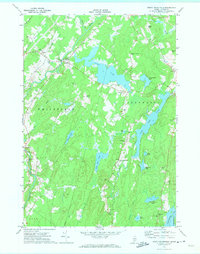
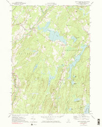
Editions of this 1970 North Whitefied Map
3 editions found
Other maps of this area

1893 · Vassalboro
USGS Topo · 1:62,500

1893 · Wiscasset
USGS Topo · 1:62,500

1898 · Vassalboro
USGS Topo · 1:62,500

1913 · Waldoboro
USGS Topo · 1:48,000

1915 · Waldoboro
USGS Topo · 1:62,500

1916 · Liberty
USGS Topo · 1:62,500

1941 · Waldoboro
USGS Topo · 1:62,500

1941 · Vassalboro
USGS Topo · 1:62,500

1942 · Liberty
USGS Topo · 1:62,500

1943 · Vassalboro
USGS Topo · 1:62,500