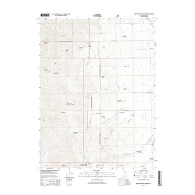
2014 Map of North Willow Canyon
USGS Topo · Published 2014About this map
The Stansbury Mountains define this high-altitude landscape within the Wasatch National Forest in northern Utah. The terrain is deeply incised by a series of drainages, most notably North Willow Canyon and South Willow Canyon, which originate near the high peaks and flow eastward toward the valley floor. Small water sources like Limekiln Spring and White Rock Spring are scattered throughout these canyons, supporting the local ecosystem and historical ranching or prospecting activities.
Find a feature on this map
51 named features on this map. Tap any name to fly to it.
Don’t see what you’re looking for? This feature index may not catch every label — zoom into the map to look around manually.
Map Details
Editions of this 2014 North Willow Canyon Map
This is the sole edition of this map. No revisions or reprints were ever made.
Other maps of this area

1885 · Tooele Valley
USGS Topo · 1:250,000

1918 · Stockton
USGS Topo · 1:62,500

1953 · Tooele
USGS Topo · 1:250,000

1955 · Timpie
USGS Topo · 1:62,500

1955 · Deseret Peak
USGS Topo · 1:62,500

1955 · Burmester
USGS Topo · 1:24,000

1955 · Grantsville
USGS Topo · 1:24,000

1955 · Stockton
USGS Topo · 1:62,500

1955 · Tooele
USGS Topo · 1:250,000
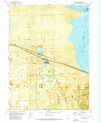
1972 · Burmester
USGS Topo · 1:24,000