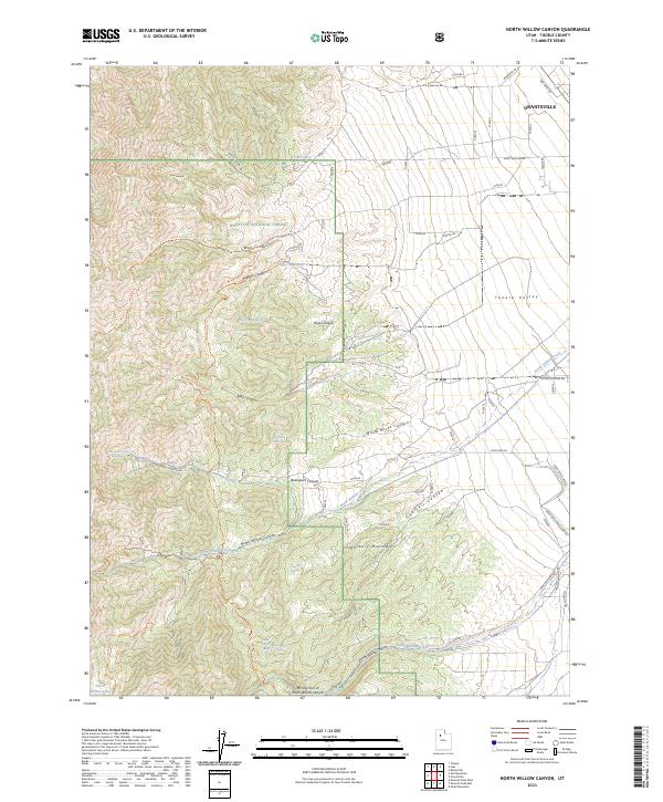
2023 Map of North Willow Canyon
USGS Topo · Published 2023About this map
Grantsville serves as the gateway to the high elevations of the Stansbury Mountains and the Tooele Valley in this modern topographical record. The transition from the residential street grid and industrial outskirts of town, including Wal-Mart Rd, into the protected landscapes of the Wasatch National Forest is clearly defined. The terrain is marked by a series of deep drainages such as Pope Canyon and White Rocks Canyon, which descend toward the valley floor.
Find a feature on this map
36 named features on this map. Tap any name to fly to it.
Don’t see what you’re looking for? This feature index may not catch every label — zoom into the map to look around manually.
Map Details
Editions of this 2023 North Willow Canyon Map
This is the sole edition of this map. No revisions or reprints were ever made.
Other maps of this area

1885 · Tooele Valley
USGS Topo · 1:250,000

1918 · Stockton
USGS Topo · 1:62,500

1953 · Tooele
USGS Topo · 1:250,000

1955 · Timpie
USGS Topo · 1:62,500

1955 · Deseret Peak
USGS Topo · 1:62,500

1955 · Burmester
USGS Topo · 1:24,000

1955 · Grantsville
USGS Topo · 1:24,000

1955 · Stockton
USGS Topo · 1:62,500

1955 · Tooele
USGS Topo · 1:250,000
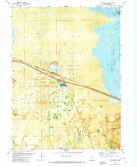
1972 · Burmester
USGS Topo · 1:24,000