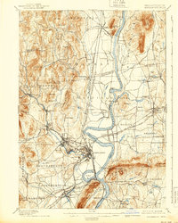
1895 Map of Northampton
USGS Topo · Published 1939About this map
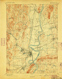
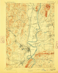
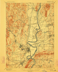
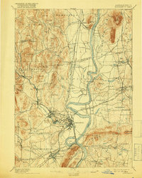
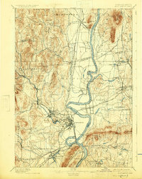
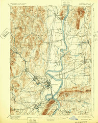
Northampton and its surrounding mill towns define this Pioneer Valley landscape, where the Connecticut River winds past the prominent Ox Bow. The late 19th-century economy is visible through a dense network of railroads, including the Boston and Maine R.R. and the Central Vermont R.R., which connected industrial centers like Williamsburg and Easthampton. Higher education is already well-established with the Agricultural College in Amherst and another College nearby.
Find a feature on this map
127 named features on this map. Tap any name to fly to it.
Don’t see what you’re looking for? This feature index may not catch every label — zoom into the map to look around manually.
Map Details
Editions of this 1895 Northampton Map
10 editions found
Other maps of this area

1885 · Northampton
USGS Topo · 1:62,500

1886 · Springfield
USGS Topo · 1:62,500

1886 · Hawley
USGS Topo · 1:62,500

1886 · Chesterfield
USGS Topo · 1:62,500

1886 · Northampton
USGS Topo · 1:62,500

1887 · Warwick
USGS Topo · 1:62,500

1887 · Palmer
USGS Topo · 1:62,500

1887 · Belchertown
USGS Topo · 1:62,500

1887 · Granville
USGS Topo · 1:62,500

1888 · Chesterfield
USGS Topo · 1:62,500