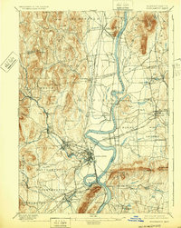
1895 Map of Northampton
USGS Topo · Published 1932About this map
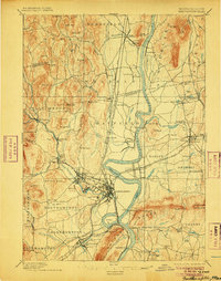
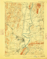
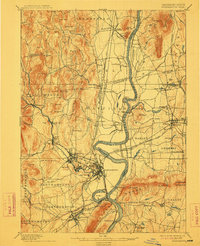
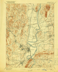
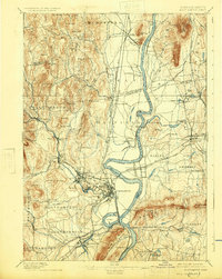
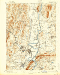
The Connecticut River bisects this landscape of the late nineteenth century, creating a fertile valley flanked by the steep Holyoke Range and western uplands. This survey, conducted in the 1880s, documents a complex network of industrial and educational growth. The proliferation of mills and specialized institutions is evident, with the Agricultural College and a secondary College anchoring Amherst, while a large Insane Asylum and several manufacturing districts like Bay State define the outskirts of Northampton. The river is still a critical barrier and thoroughfare, shown with an active Ferry near Hockanum and the distinctive Ox Bow bend. Rail infrastructure is dense, featuring the Central Mass. Div. and the New London Northern Div., which connect agricultural centers like South Deerfield and Sunderland to the region's growing mill towns.
Find a feature on this map
129 named features on this map. Tap any name to fly to it.
Don’t see what you’re looking for? This feature index may not catch every label — zoom into the map to look around manually.
Map Details
Editions of this 1895 Northampton Map
10 editions found
Other maps of this area

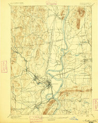
1885 · Northampton
USGS Topo · 1:62,500

1886 · Springfield
USGS Topo · 1:62,500

1886 · Hawley
USGS Topo · 1:62,500

1886 · Chesterfield
USGS Topo · 1:62,500

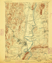
1886 · Northampton
USGS Topo · 1:62,500

1887 · Warwick
USGS Topo · 1:62,500

1887 · Palmer
USGS Topo · 1:62,500

1887 · Belchertown
USGS Topo · 1:62,500

1887 · Granville
USGS Topo · 1:62,500

1888 · Chesterfield
USGS Topo · 1:62,500