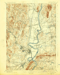
1895 Map of Northampton
USGS Topo · Published 1925About this map
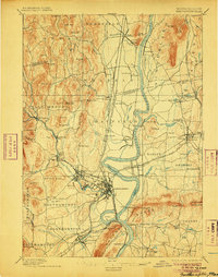
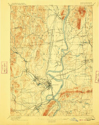
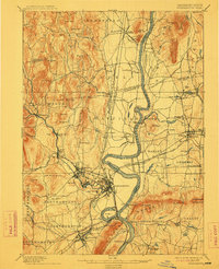
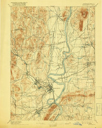
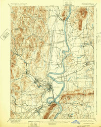
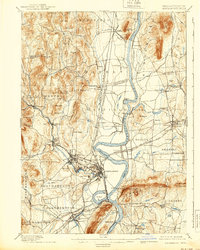
The Connecticut River carves a winding path through this late nineteenth-century landscape, defining the economic and social geography of the Pioneer Valley. Industrial and educational hubs are well-established, from the mills at Leeds and Florence to the grounds of the Agricultural College and a prominent College in Amherst. The map documents a sophisticated infrastructure of water power and transit, featuring numerous mills like Aldrich Mills and a complex rail network including the Central Vermont R. R. and the Boston and Maine R. R. (Williamsburg Br.).
Find a feature on this map
120 named features on this map. Tap any name to fly to it.
Don’t see what you’re looking for? This feature index may not catch every label — zoom into the map to look around manually.
Map Details
Editions of this 1895 Northampton Map
10 editions found
Other maps of this area

1885 · Northampton
USGS Topo · 1:62,500

1886 · Springfield
USGS Topo · 1:62,500

1886 · Hawley
USGS Topo · 1:62,500

1886 · Chesterfield
USGS Topo · 1:62,500

1886 · Northampton
USGS Topo · 1:62,500

1887 · Warwick
USGS Topo · 1:62,500

1887 · Palmer
USGS Topo · 1:62,500

1887 · Belchertown
USGS Topo · 1:62,500

1887 · Granville
USGS Topo · 1:62,500

1888 · Chesterfield
USGS Topo · 1:62,500