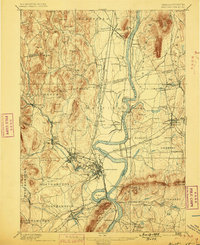
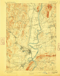
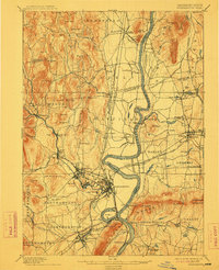
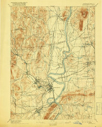
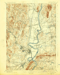
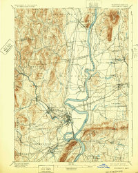
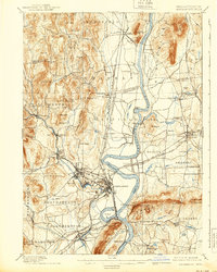
1895 Map of Northampton
USGS Topo · Published 1899About this map
The Connecticut River dominates this late-nineteenth-century landscape, winding through a valley defined by the industrial and academic growth of Western Massachusetts. The town of Northampton serves as a central hub, flanked by the Insane Asylum and the expanding village of Florence. To the east, the Agricultural College and another College at Amherst indicate the region's burgeoning role as an educational center. This survey captures a moment when the river remained a vital transit corridor, featuring active ferries and the prominent Ox Bow south of the city.
Find a feature on this map
127 named features on this map. Tap any name to fly to it.
Don’t see what you’re looking for? This feature index may not catch every label — zoom into the map to look around manually.
Map Details
Editions of this 1895 Northampton Map
10 editions found
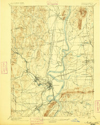
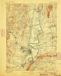
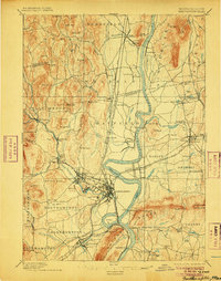
Other maps of this area

1885 · Northampton
USGS Topo · 1:62,500

1886 · Springfield
USGS Topo · 1:62,500

1886 · Hawley
USGS Topo · 1:62,500

1886 · Chesterfield
USGS Topo · 1:62,500

1886 · Northampton
USGS Topo · 1:62,500

1887 · Warwick
USGS Topo · 1:62,500

1887 · Palmer
USGS Topo · 1:62,500

1887 · Belchertown
USGS Topo · 1:62,500

1887 · Granville
USGS Topo · 1:62,500

1888 · Chesterfield
USGS Topo · 1:62,500