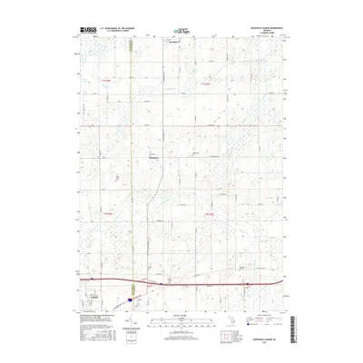
2017 Map of Northeast Albion
USGS Topo · Published 2017About this map
The borderlands of Jackson and Calhoun counties are defined by a network of rural roads and scattered family burial grounds in this detailed topographic record. The northern reaches of Albion transition into a landscape shaped by glacial hydrology, where the S Br Rice Cr and N Br Rice Cr carve through terrain dotted with pockets of water like White Lake and Cistern Lakes. This environment supported a dense collection of early settlements and family farmsteads, evidenced by the numerous small cemeteries found throughout the townships, including the Reed Family Cem and Quakertown Cem.
Find a feature on this map
75 named features on this map. Tap any name to fly to it.
Don’t see what you’re looking for? This feature index may not catch every label — zoom into the map to look around manually.
Map Details
Editions of this 2017 Northeast Albion Map
This is the sole edition of this map. No revisions or reprints were ever made.
Other maps of this area

1919 · Springport
USGS Topo · 1:62,500

1921 · Springport
USGS Topo · 1:62,500

1921 · Marshall
USGS Topo · 1:62,500

1923 · Marshall
USGS Topo · 1:62,500

1943 · Marshall
USGS Topo · 1:62,500

1948 · Spring Arbor
USGS Topo · 1:62,500

1948 · Homer
USGS Topo · 1:62,500

1949 · Homer
USGS Topo · 1:62,500

1949 · Spring Arbor
USGS Topo · 1:62,500

1958 · Grand Rapids
USGS Topo · 1:250,000