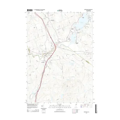
2015 Map of Northfield
USGS Topo · Published 2015About this map
The Winnipesaukee River serves as a central corridor for the adjacent towns of Tilton and Northfield, where the Tilton Island Park Bridge connects the local landscape. This 2015 survey illustrates the modern concentration of development along the river and major thoroughfares, contrasting with the high elevations of Mt Tug and Bean Hill. The area’s spiritual and genealogical history is anchored by several sites, including Tilton Arch Cem and Saint Johns Cem.
Find a feature on this map
133 named features on this map. Tap any name to fly to it.
Don’t see what you’re looking for? This feature index may not catch every label — zoom into the map to look around manually.
Map Details
Editions of this 2015 Northfield Map
This is the sole edition of this map. No revisions or reprints were ever made.
Other maps of this area

1909 · Winnepesaukee
USGS Topo · 1:62,500

1919 · Gilmanton
USGS Topo · 1:62,500

1925 · Holderness
USGS Topo · 1:62,500

1927 · Penacook
USGS Topo · 1:62,500

1927 · Gilmanton
USGS Topo · 1:62,500

1927 · Holderness
USGS Topo · 1:62,500

1949 · Portland
USGS Topo · 1:250,000

1956 · Winnipesaukee
USGS Topo · 1:62,500

1956 · Penacook
USGS Topo · 1:62,500

1956 · Holderness
USGS Topo · 1:62,500