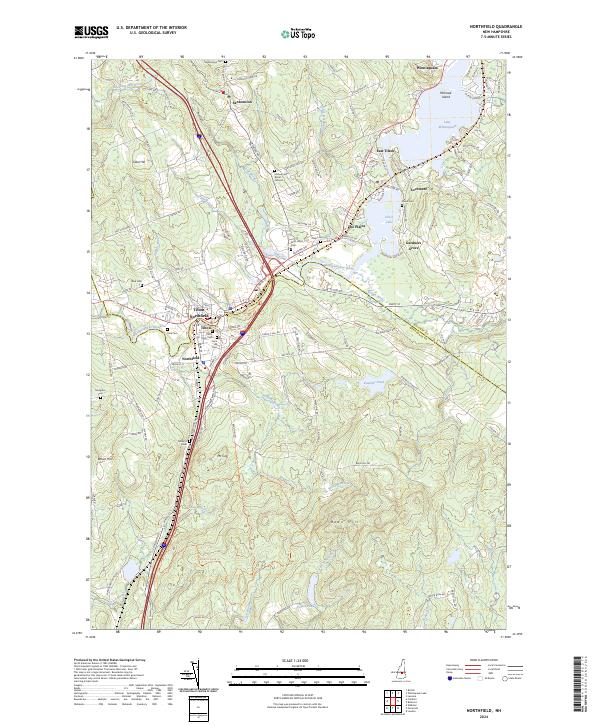
2024 Map of Northfield
USGS Topo · Published 2024About this map
The Winnipesaukee River and Tioga River converge at the historic industrial centers of Tilton and Northfield, where the landscape is defined by its manufacturing heritage and river crossings. This survey captures a dense collection of community landmarks, particularly a high concentration of burial sites including Saint Johns Cem, Tilton Arch Cem, and the Joshua Lane Burial Ground. To the north, the waters of Lake Winnisquam and Silver Lake anchor the settlements of Lochmere and East Tilton.
Find a feature on this map
137 named features on this map. Tap any name to fly to it.
Don’t see what you’re looking for? This feature index may not catch every label — zoom into the map to look around manually.
Map Details
Editions of this 2024 Northfield Map
This is the sole edition of this map. No revisions or reprints were ever made.
Other maps of this area

1909 · Winnepesaukee
USGS Topo · 1:62,500

1919 · Gilmanton
USGS Topo · 1:62,500

1925 · Holderness
USGS Topo · 1:62,500

1927 · Penacook
USGS Topo · 1:62,500

1927 · Gilmanton
USGS Topo · 1:62,500

1927 · Holderness
USGS Topo · 1:62,500

1949 · Portland
USGS Topo · 1:250,000

1956 · Winnipesaukee
USGS Topo · 1:62,500

1956 · Penacook
USGS Topo · 1:62,500

1956 · Holderness
USGS Topo · 1:62,500