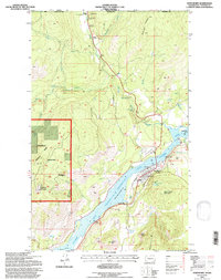
1992 Map of Northport
USGS Topo · Published 1997About this map
Northport serves as the focal point for this borderland geography, situated where the Columbia River transitions into the expansive Franklin D Roosevelt Lake. The town's infrastructure is detailed with labels for the Northport School and the Old Northport Cemetery, while further north, the international boundary with Canada is marked by the Frontier station. The landscape is defined by the heavy footprint of historical industry and resource extraction, with numerous workings such as the Double Standard Mine, Great Republic Mine, and Hubbard Mine scattered across the rugged terrain of the Colville National Forest. Transportation routes like the Burlington rail line and the Lowry Landing Strip trace the river valley, connecting the small settlement of Velvet to the wider region. This survey captures a moment when traditional mining activities and the managed lands of Hubbard Ridge and Flagstaff Mountain intersected with the regulated flow of the Columbia.
Find a feature on this map
43 named features on this map. Tap any name to fly to it.
Don’t see what you’re looking for? This feature index may not catch every label — zoom into the map to look around manually.
Map Details
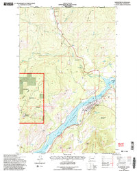
Editions of this 1992 Northport Map
2 editions found
Other maps of this area

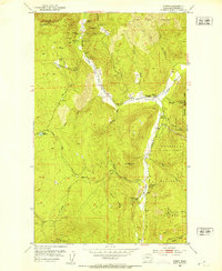
1929 · Colville
USGS Topo · 1:125,000

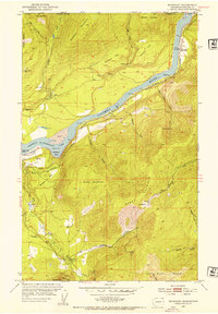
1933 · Colville
USGS Topo · 1:125,000
1952 · Spirit
USGS Topo · 1:24,000
1952 · Boundary
USGS Topo · 1:24,000

1958 · Sandpoint
USGS Topo · 1:250,000

1963 · Sandpoint
USGS Topo · 1:250,000
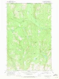
1969 · Belshazzar Mtn
USGS Topo · 1:24,000
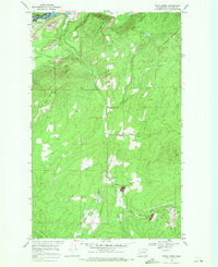
1969 · Onion Creek
USGS Topo · 1:24,000
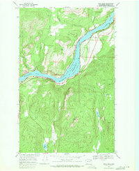
1969 · China Bend
USGS Topo · 1:24,000
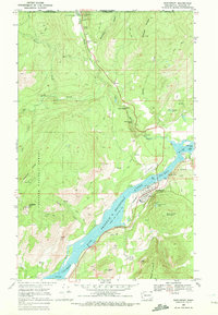
1969 · Northport
USGS Topo · 1:24,000