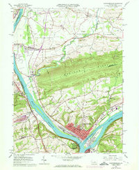
1965 Map of Northumberland
USGS Topo · Published 1973About this map
Northumberland sits at the vital confluence of the West Branch and the main stem of the Susquehanna River, a location that historically dictated the flow of trade and transport in Central Pennsylvania. This mid-1960s landscape, later photorevised in the early 1970s, reveals a dense network of competing rail lines including the Reading, Penn Central, and Erie-Lackawanna railroads. These tracks follow the riverbanks, serving riverside industrial pockets and small settlements like Winfield and Montandon.
Find a feature on this map
59 named features on this map. Tap any name to fly to it.
Don’t see what you’re looking for? This feature index may not catch every label — zoom into the map to look around manually.
Map Details
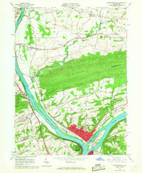
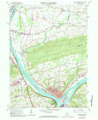
Editions of this 1965 Northumberland Map
4 editions found

Other maps of this area

1892 · Shamokin
USGS Topo · 1:62,500

1893 · Sunbury
USGS Topo · 1:62,500

1893 · Shamokin
USGS Topo · 1:62,500

1924 · Milton
USGS Topo · 1:62,500

1935 · Hughesville
USGS Topo · 1:62,500

1943 · Shamokin
USGS Topo · 1:62,500

1943 · Sunbury
USGS Topo · 1:62,500

1950 · Harrisburg
USGS Topo · 1:250,000

1952 · Shamokin
USGS Topo · 1:62,500

1953 · Hughesville
USGS Topo · 1:62,500
Featured Places
- Sunbury, PA
- Northumberland, PA
- Monroe Township, PA
- Upper Augusta Township, PA
- Lithia Springs, Point Township