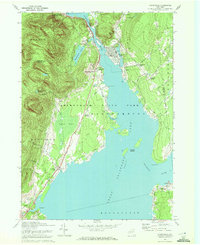
1970 Map of Northville
USGS Topo · Published 1972About this map
The Great Sacandaga Lake dominates the center of this terrain, where the Sacandaga River flows into the reservoir created by the Conklingville Dam. Along its western shores, the village of Northville serves as a local hub, featuring the Northville Central Sch and proximity to the recreational grounds at Sacandaga Park, which include a Golf Course and several water features like the Sacandaga Park Reservoir. The map illustrates a landscape shaped by both water and mountainous terrain, with Prospect Hill rising above the town and the vast Adirondack State Park extending into the northwest.
Find a feature on this map
57 named features on this map. Tap any name to fly to it.
Don’t see what you’re looking for? This feature index may not catch every label — zoom into the map to look around manually.
Map Details
Editions of this 1970 Northville Map
2 editions found
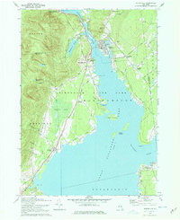
Other maps of this area

1899 · Broadalbin
USGS Topo · 1:62,500

1902 · Broadalbin
USGS Topo · 1:62,500

1903 · Gloversville
USGS Topo · 1:62,500

1907 · Lake Pleasant
USGS Topo · 1:62,500

1910 · Stony Creek
USGS Topo · 1:62,500

1943 · Gloversville
USGS Topo · 1:62,500

1945 · Edinburg
USGS Topo · 1:24,000
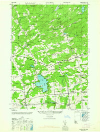
1945 · Galway
USGS Topo · 1:24,000

1945 · Northville
USGS Topo · 1:24,000
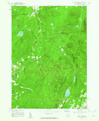
1945 · Jackson Summit
USGS Topo · 1:24,000