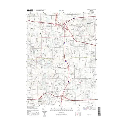
2014 Map of Northville
USGS Topo · Published 2014About this map
Northville and Livonia sit at the heart of this suburban Michigan landscape, where the headwaters of the Middle River Rouge and Upper River Rouge carve through the terrain. The map documents a dense network of major thoroughfares including Grand River Ave and Baseline Rd, which serve as the skeleton for the rapid residential expansion seen in Farmington Hills and Novi.
Find a feature on this map
63 named features on this map. Tap any name to fly to it.
Don’t see what you’re looking for? This feature index may not catch every label — zoom into the map to look around manually.
Map Details
Editions of this 2014 Northville Map
This is the sole edition of this map. No revisions or reprints were ever made.
Other maps of this area

1902 · South Lyon
USGS Topo · 1:62,500

1904 · Ann Arbor
USGS Topo · 1:125,000

1905 · Wayne
USGS Topo · 1:62,500

1906 · South Lyon
USGS Topo · 1:62,500

1907 · Pontiac
USGS Topo · 1:62,500

1908 · Ann Arbor
USGS Topo · 1:125,000

1909 · Milford
USGS Topo · 1:62,500

1912 · Wayne
USGS Topo · 1:62,500

1936 · Inkster
USGS Topo · 1:31,680

1936 · Wayne
USGS Topo · 1:31,680