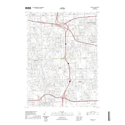
2019 Map of Northville
USGS Topo · Published 2019About this map
The dense suburban corridor of western Wayne and southern Oakland counties is captured here, centered on the historic boundaries of Northville and Novi. This area, traditionally defined by the headwaters of the Middle River Rouge and its tributaries like Johnson Drain, shows the intricate lattice of residential developments such as Grand View Acres and Farmington Acres. The map reveals a high concentration of institutional and commemorative sites, including several historic burial grounds like the Yerkes Cem and the Farmington Quaker Cem. Educational hubs are prominent, with Schoolcraft College and Madonna University serving as major landmarks. The landscape is also marked by engineered water bodies like Phoenix Lake and Wilcox Lake, which stand as recreation and drainage points amidst the expanding road networks of Livonia and Farmington Hills.
Find a feature on this map
55 named features on this map. Tap any name to fly to it.
Don’t see what you’re looking for? This feature index may not catch every label — zoom into the map to look around manually.
Map Details
Editions of this 2019 Northville Map
This is the sole edition of this map. No revisions or reprints were ever made.
Other maps of this area

1902 · South Lyon
USGS Topo · 1:62,500

1904 · Ann Arbor
USGS Topo · 1:125,000

1905 · Wayne
USGS Topo · 1:62,500

1906 · South Lyon
USGS Topo · 1:62,500

1907 · Pontiac
USGS Topo · 1:62,500

1908 · Ann Arbor
USGS Topo · 1:125,000

1909 · Milford
USGS Topo · 1:62,500

1912 · Wayne
USGS Topo · 1:62,500

1936 · Inkster
USGS Topo · 1:31,680

1936 · Wayne
USGS Topo · 1:31,680