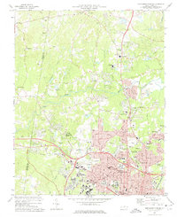
1973 Map of Northwest Durham
USGS Topo · Published 1975About this map
Durham expands northward into the Piedmont landscape in the early 1970s, bounded by the Orange Co Durham Co line. The campus of Duke University and the VA Hospital anchor the southwestern corner, while the Eno River and Little River wind through the more rural northern reaches. This era shows the suburban transition between the established city center and the outlying countryside, where long-standing community centers like Braggtown and Weaver are being integrated into the urban fabric.
Find a feature on this map
150 named features on this map. Tap any name to fly to it.
Don’t see what you’re looking for? This feature index may not catch every label — zoom into the map to look around manually.
Map Details
Editions of this 1973 Northwest Durham Map
3 editions found
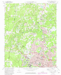
Historical Maps of Heritage Heights Through Time
16 maps found

1943 Durham South
Durham County, NC
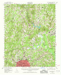
1951 Durham North
Durham County, NC
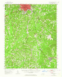
1951 Durham South
Durham County, NC
1973 Northeast Durham
Durham County, NC
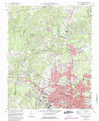
1973 Northwest Durham
Durham County, NC
1973 Southeast Durham
Durham County, NC
1973 Southwest Durham
Durham County, NC
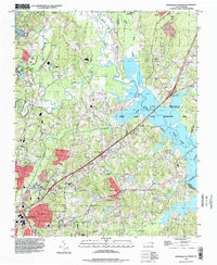
1993 Northeast Durham
Durham County, NC
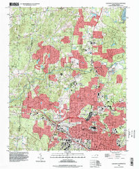
1993 Northwest Durham
Durham County, NC
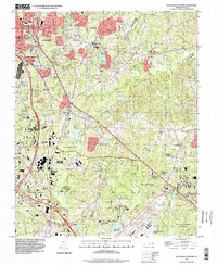
1993 Southeast Durham
Durham County, NC
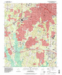
1993 Southwest Durham
Durham County, NC
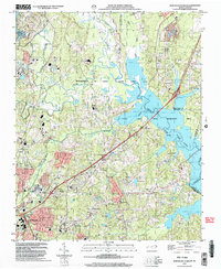
1999 Northeast Durham
Durham County, NC
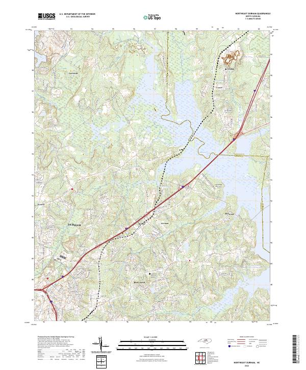
2022 Northeast Durham
Durham County, NC
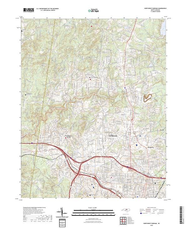
2022 Northwest Durham
Durham County, NC
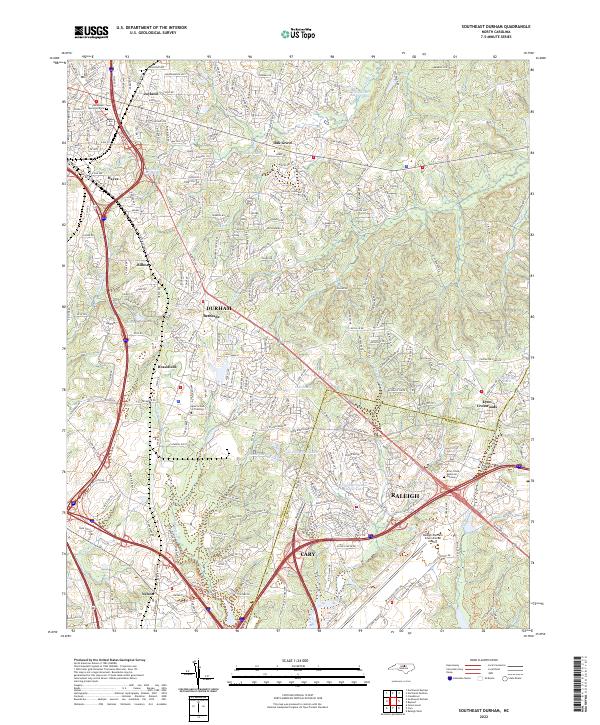
2022 Southeast Durham
Durham County, NC
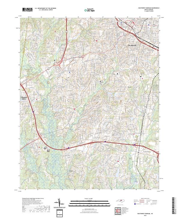
2022 Southwest Durham
Durham County, NC