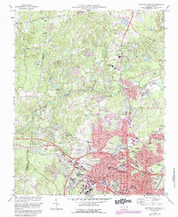
1973 Map of Northwest Durham
USGS Topo · Published 1987About this map
Duke University serves as a major anchor for this mid-1970s landscape, with its expansive campus and the neighboring VA Hospital bordering the city's residential growth. To the north, the terrain transitions into the protected woodlands of Eno River State Park, where the Eno River snakes through the Piedmont. The map reveals the expansion of Durham at a time when suburban developments like Homestead Heights and Croasdaile Country Club were establishing new footprints around older centers like Braggtown. A significant institutional presence is noted at the State Prison along the river, while the local rail network is represented by the Southern and Norfolk and Western lines. This survey captures a mix of academic prestige, incarceration history, and the preservation of natural river corridors as the city expanded northward.
Find a feature on this map
89 named features on this map. Tap any name to fly to it.
Don’t see what you’re looking for? This feature index may not catch every label — zoom into the map to look around manually.
Map Details
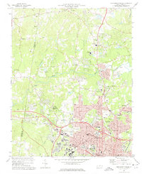
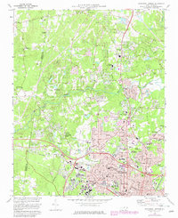
Editions of this 1973 Northwest Durham Map
3 editions found
Other maps of this area

1943 · Durham South
USGS Topo · 1:62,500

1946 · Chapel Hill
USGS Topo · 1:24,000

1947 · Chapel Hill
USGS Topo · 1:31,680

1951 · Durham South
USGS Topo · 1:62,500

1951 · Durham North
USGS Topo · 1:62,500

1953 · Raleigh
USGS Topo · 1:250,000

1953 · Greensboro
USGS Topo · 1:250,000

1954 · Greensboro
USGS Topo · 1:250,000

1954 · Raleigh
USGS Topo · 1:250,000

1962 · Greensboro
USGS Topo · 1:250,000