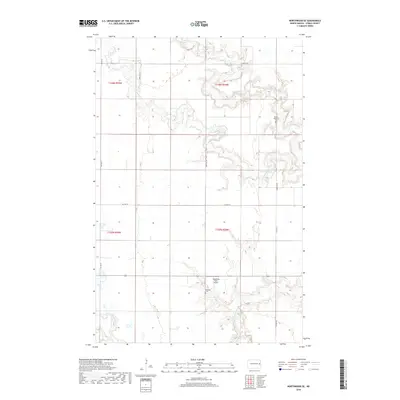
2018 Map of Northwood SE
USGS Topo · Published 2018About this map
Goose River and its various branches, including the Middle Br Goose River and Beaver Cr, carve a winding path through the agricultural landscape of Steele County in this 2018 survey. The map reveals a region defined by its sections and townships, primarily t148n r55w and t147n r54w, where rural life is punctuated by small, private landmarks. The placement of the Fugleberg Farm Airport and two local burial sites, Stevens Memorial Cem and Severson Cem, reflects the long-standing family landholdings and community ties of Enger Township. A network of county highways and local roads, such as Co HWY 19 and 140th Ave Ne, connects these isolated rural features across the undulating river valleys.
Find a feature on this map
17 named features on this map. Tap any name to fly to it.
Don’t see what you’re looking for? This feature index may not catch every label — zoom into the map to look around manually.
Map Details
Editions of this 2018 Northwood SE Map
This is the sole edition of this map. No revisions or reprints were ever made.
Other maps of this area

1952 · Grand Forks
USGS Topo · 1:250,000

1956 · Grand Forks
USGS Topo · 1:250,000

1966 · Grand Forks
USGS Topo · 1:250,000

1968 · Hope NE
USGS Topo · 1:24,000

1968 · Sherbrooke
USGS Topo · 1:24,000
1968 · Galesburg NW
USGS Topo · 1:24,000
1970 · Northwood SE
USGS Topo · 1:24,000
1970 · Hatton
USGS Topo · 1:24,000
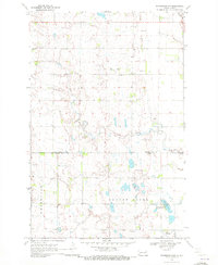
1970 · Northwood NW
USGS Topo · 1:24,000
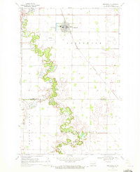
1970 · Northwood
USGS Topo · 1:24,000
Featured Places
- Enger Township, ND
- Golden Lake Township, ND
- Beaver Creek Township, ND
- Newburgh Township, ND
- Steele County, ND