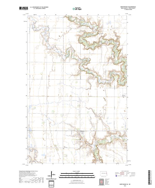
2024 Map of Northwood SE
USGS Topo · Published 2024About this map
The Goose River and its winding tributaries, the Middle Branch Goose River and Beaver Creek, dictate the geography of this Steele County landscape. This agricultural corridor is characterized by a series of family and church-affiliated burial grounds, including the Bang Church Cem, Stavens Memorial Cem, and Little Forks Lutheran Cem. These small, localized cemeteries offer a window into the settlement patterns and genealogy of this prairie region. Modern utility meets rural life at the Fugleberg Farm Airport, while the grid of roads such as Co HWY 19 and 140th Ave Ne connects the dispersed farmsteads across the township lines of t148n r55w and its neighbors.
Find a feature on this map
20 named features on this map. Tap any name to fly to it.
Don’t see what you’re looking for? This feature index may not catch every label — zoom into the map to look around manually.
Map Details
Editions of this 2024 Northwood SE Map
This is the sole edition of this map. No revisions or reprints were ever made.
Other maps of this area

1952 · Grand Forks
USGS Topo · 1:250,000

1956 · Grand Forks
USGS Topo · 1:250,000

1966 · Grand Forks
USGS Topo · 1:250,000

1968 · Hope NE
USGS Topo · 1:24,000

1968 · Sherbrooke
USGS Topo · 1:24,000
1968 · Galesburg NW
USGS Topo · 1:24,000
1970 · Northwood SE
USGS Topo · 1:24,000
1970 · Hatton
USGS Topo · 1:24,000
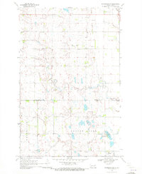
1970 · Northwood NW
USGS Topo · 1:24,000
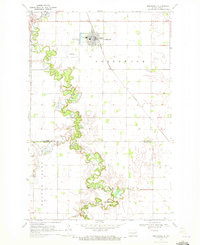
1970 · Northwood
USGS Topo · 1:24,000
Featured Places
- Enger Township, ND
- Golden Lake Township, ND
- Beaver Creek Township, ND
- Newburgh Township, ND
- Steele County, ND