2014 Map of Norton Bay B-5 OE S NW
USGS Topo · Published 2014About this map
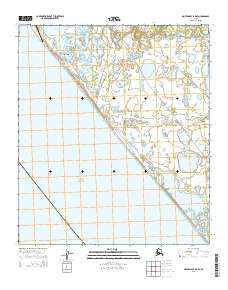
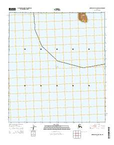
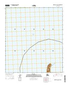
Norton Sound dominates this coastal landscape, where the waters of the Bering Sea meet the Alaskan shore within the Nome Census Area. A defining landmark in the southern reaches of the map is Besboro Island, a prominent landmass rising from the sound. This 2014 survey focuses primarily on the maritime environment and the administrative boundaries of the region, including the township divisions of t15s r13w and t16s r13w. The map illustrates the minimal terrestrial infrastructure typical of this isolated coastal stretch, emphasizing the natural topography of the island and the expansive open water of the sound.
Find a feature on this map
5 named features on this map. Tap any name to fly to it.
Don’t see what you’re looking for? This feature index may not catch every label — zoom into the map to look around manually.
Map Details
Editions of this 2014 Norton Bay B-5 OE S NW Map
This is the sole edition of this map. No revisions or reprints were ever made.