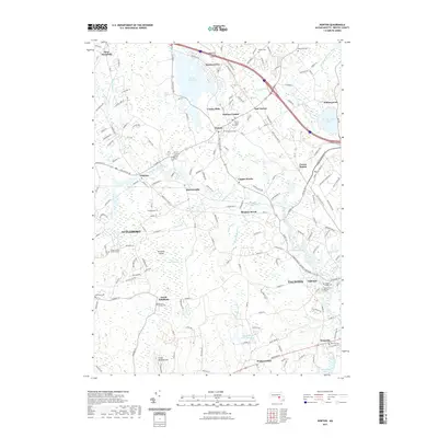
2021 Map of Norton
USGS Topo · Published 2021About this map
Wheaton College serves as a focal point for the town of Norton, illustrating the long-standing educational and civic core of Bristol County. The landscape is heavily influenced by the Wading River and Canoe River, which historically powered local industries such as the Copper Works near Barrowsville. The convergence of water and rail is evident in the path of the Old Colony Rail Trl, which traces the route of former commerce through Chartley and Cranes Station. Genealogy researchers will find significant value in the distribution of burial sites, ranging from the central Norton Center Cem to smaller, family-based locations like the Thayer Family Burial Ground. To the north, the Norton Reservoir and Mansfield Municipal Airport mark the transition toward West Mansfield, while the southern reaches move into the outskirts of Taunton.
Find a feature on this map
50 named features on this map. Tap any name to fly to it.
Don’t see what you’re looking for? This feature index may not catch every label — zoom into the map to look around manually.
Map Details
Editions of this 2021 Norton Map
This is the sole edition of this map. No revisions or reprints were ever made.
Other maps of this area

1885 · Taunton
USGS Topo · 1:62,500

1886 · Dedham
USGS Topo · 1:62,500

1887 · Franklin
USGS Topo · 1:62,500

1887 · Providence
USGS Topo · 1:62,500

1888 · Taunton
USGS Topo · 1:62,500

1889 · Providence
USGS Topo · 1:62,500

1889 · Franklin
USGS Topo · 1:62,500

1893 · Taunton
USGS Topo · 1:62,500

1893 · Franklin
USGS Topo · 1:62,500

1894 · Dedham
USGS Topo · 1:62,500