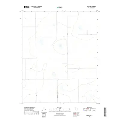
2019 Map of Norton Lake
USGS Topo · Published 2019About this map
Norton Lake and Red Windmill Lake characterize this high plains landscape in Deaf Smith County, where seasonal water bodies dot a sparsely populated agricultural grid. The terrain is defined by wide-open ranch land and a systematic network of county roads, reflecting the late 20th and early 21st-century land management patterns of the Texas Panhandle. Significant thoroughfares include Ranch Rd 1412, which provides the primary east-west transit through the southern portion of the quadrangle. The naming convention of local routes, such as Co Rd RR and Co Rd QQ, highlights the organized cadastral survey system that governs this region. This survey captures the area before any major modern industrial footprint, focusing on the natural depressions and the essential rural road infrastructure.
Find a feature on this map
10 named features on this map. Tap any name to fly to it.
Don’t see what you’re looking for? This feature index may not catch every label — zoom into the map to look around manually.
Map Details
Editions of this 2019 Norton Lake Map
This is the sole edition of this map. No revisions or reprints were ever made.
Other maps of this area

1954 · Tucumcari
USGS Topo · 1:250,000

1954 · Clovis
USGS Topo · 1:250,000

1958 · Clovis
USGS Topo · 1:250,000

1958 · Tucumcari
USGS Topo · 1:250,000

1966 · Moser Ranch
USGS Topo · 1:24,000

1966 · Boise
USGS Topo · 1:24,000

1966 · Simms NW
USGS Topo · 1:24,000

1966 · Simms
USGS Topo · 1:24,000

1966 · Sand Point
USGS Topo · 1:24,000

1966 · Norton Lake
USGS Topo · 1:24,000