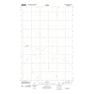
2011 Map of Nortonville
USGS Topo · Published 2011About this map
Nortonville stands as the primary settlement on this North Dakota prairie landscape, situated near the western edge of the quadrangle. The terrain is defined by a geometric grid of rural section roads, including 80th Ave SE and 55th St SE, which facilitate travel between isolated farmsteads across LaMoure County. Meandering through the lower half of the map, Bone Hill Creek provides the only significant natural break in the structured agricultural grid, its winding path contrasting with the straight lines of County Rd 35. This survey captures the region as it appeared in the early 21st century, showing the enduring reliance on a systematic road network to connect the community of Nortonville with the surrounding agricultural land.
Find a feature on this map
16 named features on this map. Tap any name to fly to it.
Don’t see what you’re looking for? This feature index may not catch every label — zoom into the map to look around manually.
Map Details
Editions of this 2011 Nortonville Map
This is the sole edition of this map. No revisions or reprints were ever made.
Other maps of this area

1896 · Jamestown
USGS Topo · 1:125,000

1896 · Edgeley
USGS Topo · 1:125,000

1925 · Edgeley
USGS Topo · 1:125,000

1953 · Jamestown
USGS Topo · 1:250,000

1953 · Montpelier
USGS Topo · 1:24,000

1953 · Montpelier NW
USGS Topo · 1:24,000

1953 · Adrian
USGS Topo · 1:24,000

1953 · Millarton
USGS Topo · 1:24,000

1953 · Nortonville
USGS Topo · 1:24,000

1953 · Jud SE
USGS Topo · 1:24,000