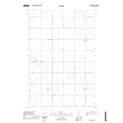
2020 Map of Nortonville
USGS Topo · Published 2020About this map
Nortonville stands as a distinct prairie settlement within the section lines of North Dakota's central plains. This landscape is defined by the winding course of Bone Hill Cr, which snakes through the eastern half of the quadrangle, contrasting with the rigid grid of the Public Land Survey System. The area is heavily marked by small prairie potholes and wetlands, typical of the glacial till plains. Local genealogy and history are anchored at the Nortonville Cem, located just east of the primary cluster of homes. Transportation follows a strict cardinal-direction layout, with Co Rd 35 serving as a primary lateral route across the lower sections. The map preserves the specific township and range boundaries, including t136n r64w, illustrating the late-modern configuration of this rural LaMoure County community.
Find a feature on this map
24 named features on this map. Tap any name to fly to it.
Don’t see what you’re looking for? This feature index may not catch every label — zoom into the map to look around manually.
Map Details
Editions of this 2020 Nortonville Map
This is the sole edition of this map. No revisions or reprints were ever made.
Other maps of this area

1896 · Jamestown
USGS Topo · 1:125,000

1896 · Edgeley
USGS Topo · 1:125,000

1925 · Edgeley
USGS Topo · 1:125,000

1953 · Jamestown
USGS Topo · 1:250,000

1953 · Montpelier
USGS Topo · 1:24,000

1953 · Montpelier NW
USGS Topo · 1:24,000

1953 · Adrian
USGS Topo · 1:24,000

1953 · Millarton
USGS Topo · 1:24,000

1953 · Nortonville
USGS Topo · 1:24,000

1953 · Jud SE
USGS Topo · 1:24,000