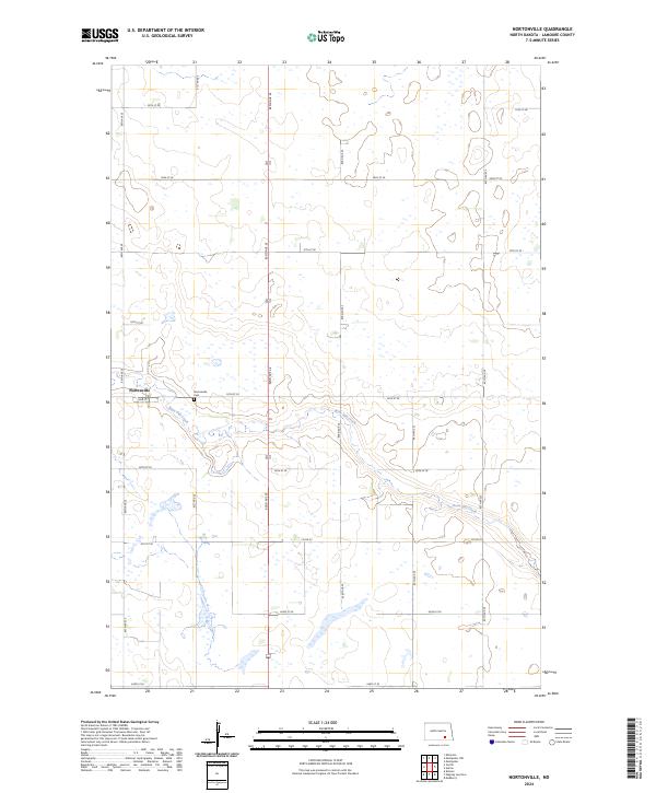
2024 Map of Nortonville
USGS Topo · Published 2024About this map
Nortonville stands as a primary focal point in this portion of LaMoure County, situated within a landscape defined by the winding course of Bone Hill Creek. The creek meanders through the central and eastern sections of the quadrangle, carving a distinct drainage pattern across the prairie. The settlement itself is anchored by a grid of local roads, including 2nd St, while the nearby Nortonville Cem offers a significant point of interest for those tracing family lineages in the region. The map reveals the characteristic North Dakota section-line road network, with routes such as 82nd Ave SE and Co Rd 35 providing the essential infrastructure for the agricultural operations that dominate the surrounding terrain. This survey provides a clear view of the rural township organization, specifically across the borders of t136n r64w and t135n r64w, illustrating how the land was partitioned and settled.
Find a feature on this map
24 named features on this map. Tap any name to fly to it.
Don’t see what you’re looking for? This feature index may not catch every label — zoom into the map to look around manually.
Map Details
Editions of this 2024 Nortonville Map
This is the sole edition of this map. No revisions or reprints were ever made.
Other maps of this area

1896 · Jamestown
USGS Topo · 1:125,000

1896 · Edgeley
USGS Topo · 1:125,000

1925 · Edgeley
USGS Topo · 1:125,000

1953 · Jamestown
USGS Topo · 1:250,000

1953 · Montpelier
USGS Topo · 1:24,000

1953 · Montpelier NW
USGS Topo · 1:24,000

1953 · Adrian
USGS Topo · 1:24,000

1953 · Millarton
USGS Topo · 1:24,000

1953 · Nortonville
USGS Topo · 1:24,000

1953 · Jud SE
USGS Topo · 1:24,000