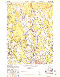
1943 Map of Norwalk North
USGS Topo · Published 1947About this map
Wilton and the surrounding Fairfield County townships are captured here in the midst of the mid-century suburban transition, centered on the Norwalk River corridor. The Danbury Branch railroad parallels the river through established hamlets like Cannondale and South Wilton, while the newer Merritt Parkway cuts a wide path across the lower portion of the map, signaling the era's shift toward automobile travel. The landscape is dotted with numerous small ponds and reservoirs, including the South Norwalk Reservoir and Trinity Lake Reservoir, which speak to the region's managed water resources.
Find a feature on this map
56 named features on this map. Tap any name to fly to it.
Don’t see what you’re looking for? This feature index may not catch every label — zoom into the map to look around manually.
Map Details
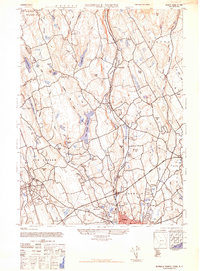
Editions of this 1943 Norwalk North Map
2 editions found
Other maps of this area

1892 · Stamford
USGS Topo · 1:62,500

1892 · Danbury
USGS Topo · 1:62,500

1892 · Norwalk
USGS Topo · 1:62,500

1892 · Carmel
USGS Topo · 1:62,500

1893 · Carmel
USGS Topo · 1:62,500

1893 · Stamford
USGS Topo · 1:62,500

1893 · Norwalk
USGS Topo · 1:62,500

1894 · Carmel
USGS Topo · 1:62,500

1899 · Stamford
USGS Topo · 1:62,500

1915 · Danbury
USGS Topo · 1:62,500