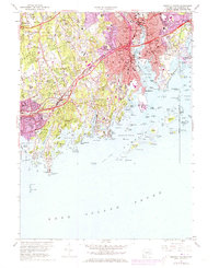
1960 Map of Norwalk South
USGS Topo · Published 1973About this map
Long Island Sound defines the southern edge of this mid-century coastal survey, where the intricate shoreline of Darien and Norwalk is dotted with numerous islands and inlets. Residential growth and institutional expansion are evident through the concentration of schools and religious sites, such as the Holy Ghost Fathers and Sacred Heart Academy. The transportation landscape is dominated by the Penn Central rail line and the Connecticut Turnpike, which cut through established neighborhoods like South Norwalk and Noroton Heights.
Find a feature on this map
86 named features on this map. Tap any name to fly to it.
Don’t see what you’re looking for? This feature index may not catch every label — zoom into the map to look around manually.
Map Details
Editions of this 1960 Norwalk South Map
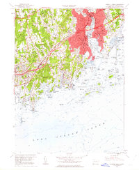
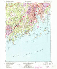
3 editions found
Other maps of this area

1892 · Stamford
USGS Topo · 1:62,500

1892 · Norwalk
USGS Topo · 1:62,500

1893 · Stamford
USGS Topo · 1:62,500

1893 · Norwalk
USGS Topo · 1:62,500

1897 · Oyster Bay
USGS Topo · 1:62,500

1898 · Oyster Bay
USGS Topo · 1:62,500

1899 · Stamford
USGS Topo · 1:62,500

1900 · Oyster Bay
USGS Topo · 1:62,500

1901 · Northport
USGS Topo · 1:62,500

1903 · Northport
USGS Topo · 1:62,500