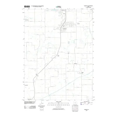
2010 Map of Norwalk
USGS Topo · Published 2010About this map
Norwalk and its surrounding rural townships are defined by the convergence of the North River and Middle River as they flow eastward toward the Des Moines River valley. In the early 21st century, this area maintained a mix of growing residential developments, such as Lakewood, and enduring small settlements like Prole, Spring Hill, and Greenbush. The landscape is dotted with several recreational spaces, including The Legacy Golf Course and Rolling Hills Golf Course, illustrating the transition from agricultural land to suburban leisure.
Find a feature on this map
48 named features on this map. Tap any name to fly to it.
Don’t see what you’re looking for? This feature index may not catch every label — zoom into the map to look around manually.
Map Details
Editions of this 2010 Norwalk Map
This is the sole edition of this map. No revisions or reprints were ever made.
Other maps of this area

1905 · Des Moines
USGS Topo · 1:62,500

1907 · Des Moines
USGS Topo · 1:62,500

1908 · Waukee
USGS Topo · 1:62,500

1931 · Indianola
USGS Topo · 1:62,500

1951 · St. Charles
USGS Topo · 1:62,500

1954 · Des Moines
USGS Topo · 1:250,000

1956 · Des Moines
USGS Topo · 1:250,000

1956 · Des Moines SW
USGS Topo · 1:24,000

1956 · Des Moines SE
USGS Topo · 1:24,000

1956 · Des Moines
USGS Topo · 1:62,500