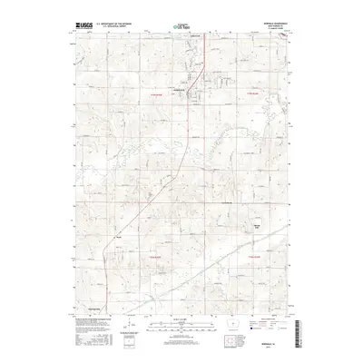
2015 Map of Norwalk
USGS Topo · Published 2015About this map
The city of Norwalk serves as a central hub in this landscape, situated just south of the residential developments of Lakewood and the waters of Lake Colechester. The map illustrates a transition from suburban expansion near the northern border to the traditional agricultural patterns and river bottoms of Warren County. The North River meanders across the central portion of the quadrangle, while the Middle River defines the southern reaches, joined by smaller tributaries like Bull Run and Felters Br.
Find a feature on this map
66 named features on this map. Tap any name to fly to it.
Don’t see what you’re looking for? This feature index may not catch every label — zoom into the map to look around manually.
Map Details
Editions of this 2015 Norwalk Map
This is the sole edition of this map. No revisions or reprints were ever made.
Other maps of this area

1905 · Des Moines
USGS Topo · 1:62,500

1907 · Des Moines
USGS Topo · 1:62,500

1908 · Waukee
USGS Topo · 1:62,500

1931 · Indianola
USGS Topo · 1:62,500

1951 · St. Charles
USGS Topo · 1:62,500

1954 · Des Moines
USGS Topo · 1:250,000

1956 · Des Moines
USGS Topo · 1:250,000

1956 · Des Moines SW
USGS Topo · 1:24,000

1956 · Des Moines SE
USGS Topo · 1:24,000

1956 · Des Moines
USGS Topo · 1:62,500