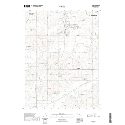
2018 Map of Norwalk
USGS Topo · Published 2018About this map
Norwalk and the surrounding Warren County landscape are defined by the convergence of the N River and Middle River valleys. This 2018 survey documents a region of growing residential development bordering the southern edge of West Des Moines and Des Moines. The map maintains a clear record of local heritage sites, including the Webb Cem and Linn Grove Cem, which serve as anchor points for family historians. Smaller rural settlements like Greenbush, Spring Hill, and Prole are still distinct entities, even as larger infrastructure like Co Rd R63 and suburban expansions in Lakewood reshape the terrain. The presence of numerous small water bodies, such as Bull Run and Felters Br, highlights the undulating creek-bed geography that has influenced road patterns and farm placement across the townships since early settlement.
Find a feature on this map
89 named features on this map. Tap any name to fly to it.
Don’t see what you’re looking for? This feature index may not catch every label — zoom into the map to look around manually.
Map Details
Editions of this 2018 Norwalk Map
This is the sole edition of this map. No revisions or reprints were ever made.
Other maps of this area

1905 · Des Moines
USGS Topo · 1:62,500

1907 · Des Moines
USGS Topo · 1:62,500

1908 · Waukee
USGS Topo · 1:62,500

1931 · Indianola
USGS Topo · 1:62,500

1951 · St. Charles
USGS Topo · 1:62,500

1954 · Des Moines
USGS Topo · 1:250,000

1956 · Des Moines
USGS Topo · 1:250,000

1956 · Des Moines SW
USGS Topo · 1:24,000

1956 · Des Moines SE
USGS Topo · 1:24,000

1956 · Des Moines
USGS Topo · 1:62,500