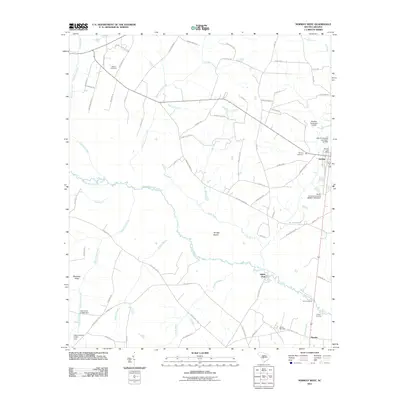
2011 Map of Norway West
USGS Topo · Published 2011About this map
The South Fork Edisto River meanders across this South Carolina landscape, defining the rural character of western Orangeburg County. The town of Norway sits on the eastern edge of the survey, serving as a focal point with its Norway Post Office and nearby Norway Cemetery. The proximity of the settlement of Sweden to the south suggests the cultural heritage of the area's early European immigrants.
Find a feature on this map
85 named features on this map. Tap any name to fly to it.
Don’t see what you’re looking for? This feature index may not catch every label — zoom into the map to look around manually.
Map Details
Editions of this 2011 Norway West Map
This is the sole edition of this map. No revisions or reprints were ever made.
Other maps of this area

1919 · Bamberg
USGS Topo · 1:48,000

1920 · Bamberg
USGS Topo · 1:62,500

1923 · Williston
USGS Topo · 1:48,000

1927 · Williston
USGS Topo · 1:62,500

1943 · Bamberg
USGS Topo · 1:62,500

1943 · Williston
USGS Topo · 1:62,500

1944 · Seivern
USGS Topo · 1:62,500

1946 · Woodford
USGS Topo · 1:62,500

1954 · Augusta
USGS Topo · 1:250,000

1957 · Augusta
USGS Topo · 1:250,000