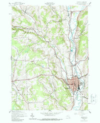
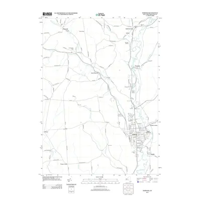
1944 Map of Norwich
USGS Topo · Published 1957About this map
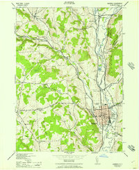
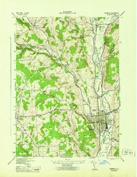
The Chenango River valley serves as the primary corridor for commerce and transport through this mid-century landscape, anchored by the industrial center of Norwich. Two major rail lines, the New York Ontario and Western RR and the Delaware Lackawanna and Western RR, parallel the river, serving local stations like Galena Station and the DL&W Sta. Beyond the city center, the terrain is defined by a dense network of district schools and family cemeteries, such as the Slater Cem and Packer-Mason Cem, indicating the region's deep agricultural roots. Key community institutions including the County Home, Chenango Memorial Hospital, and the Fair Grounds are clearly marked, while smaller hamlets like Plasterville and Woods Corners highlight the early 20th-century settlement patterns along the valley floor and rising ridges of Tinker Ridge.
Find a feature on this map
60 named features on this map. Tap any name to fly to it.
Don’t see what you’re looking for? This feature index may not catch every label — zoom into the map to look around manually.
Map Details
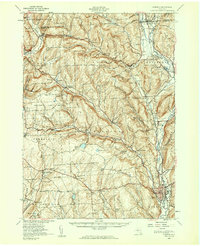
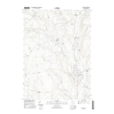
Editions of this 1944 Norwich Map
2 editions found
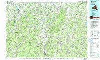
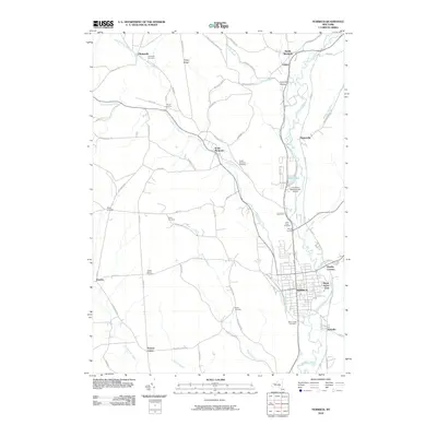
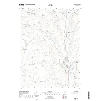
Historical Maps of Norwich Through Time
11 maps found
1903 Norwich
Chenango County, NY
1943 Norwich
Chenango County, NY
1943 Norwich
Chenango County, NY
1944 Norwich
Chenango County, NY
1944 Norwich
Chenango County, NY
1986 Norwich
Chenango County, NY
2010 Norwich
Chenango County, NY
2013 Norwich
Chenango County, NY
2016 Norwich
Chenango County, NY
2019 Norwich
Chenango County, NY

2023 Norwich
Chenango County, NY