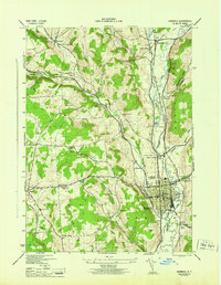
1944 Map of Norwich
USGS Topo · Published 1944About this map
The Chenango River valley serves as the central artery for this mid-century New York landscape, where the city of Norwich acts as a dense industrial and transit hub. The presence of both the New York Ontario and Western RR and the Delaware Lackawanna and Western RR illustrates the region's importance as a rail corridor during the war years. While the valley floor is dominated by the Canal and the river's winding path, the surrounding uplands in Plymouth and Preston are dotted with a high density of rural schoolhouses and family cemeteries, such as the Packer-Mason Cem and Slater Cem. Notable civic landmarks like the Chenango Memorial Hospital, the Fair Grounds, and the County Home provide a clear picture of the social infrastructure and land use in Chenango County during the early 1940s.
Find a feature on this map
60 named features on this map. Tap any name to fly to it.
Don’t see what you’re looking for? This feature index may not catch every label — zoom into the map to look around manually.
Map Details
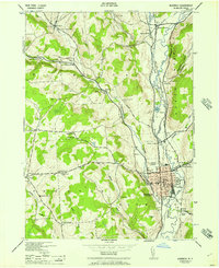
Editions of this 1944 Norwich Map
2 editions found
Other maps of this area

1902 · Coventry
USGS Topo · 1:62,500

1903 · Norwich
USGS Topo · 1:62,500

1904 · Oxford
USGS Topo · 1:62,500

1910 · New Berlin
USGS Topo · 1:62,500

1912 · New Berlin
USGS Topo · 1:62,500

1915 · Unadilla
USGS Topo · 1:62,500

1918 · Unadilla
USGS Topo · 1:62,500

1943 · Otselic
USGS Topo · 1:24,000

1943 · Holmesville
USGS Topo · 1:24,000

1943 · Norwich
USGS Topo · 1:24,000