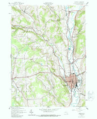
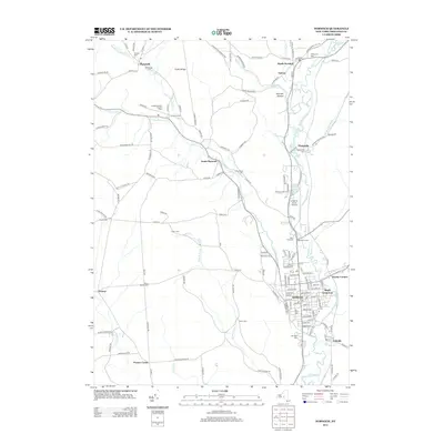
1944 Map of Norwich
USGS Topo · Published 1960About this map
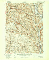
The Chenango River valley serves as the primary corridor for commerce and travel in this mid-century New York interior, where the New York Ontario and Western and Delaware Lackawanna and Western railroads converge at Norwich. Outside the industrial center, the landscape is defined by the high ground of Negro Hill and Tinker Ridge, punctuated by a network of one-room schoolhouses like School No 5 and School No 6 that served isolated upland farming communities.
Find a feature on this map
88 named features on this map. Tap any name to fly to it.
Don’t see what you’re looking for? This feature index may not catch every label — zoom into the map to look around manually.
Map Details
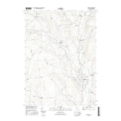
Editions of this 1944 Norwich Map
2 editions found
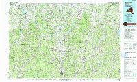
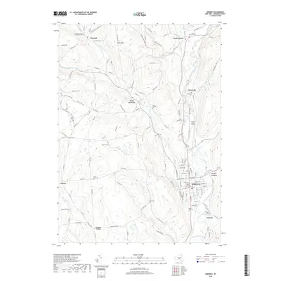
Historical Maps of Norwich Through Time
11 maps found
1903 Norwich
Chenango County, NY
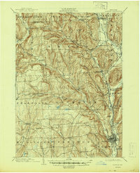
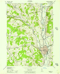
1943 Norwich
Chenango County, NY
1943 Norwich
Chenango County, NY
1944 Norwich
Chenango County, NY
1944 Norwich
Chenango County, NY
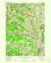
1986 Norwich
Chenango County, NY
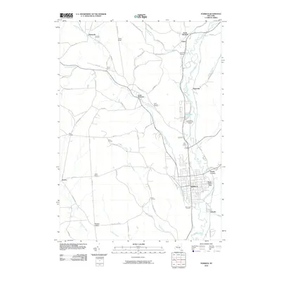
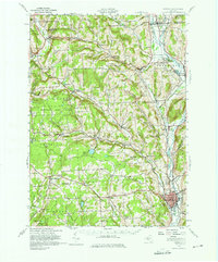
2010 Norwich
Chenango County, NY
2013 Norwich
Chenango County, NY
2016 Norwich
Chenango County, NY
2019 Norwich
Chenango County, NY

2023 Norwich
Chenango County, NY