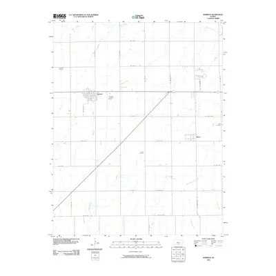
2010 Map of Norwich
USGS Topo · Published 2010About this map
Norwich and Milton anchor this section of south-central Kansas, where the landscape is defined by a precise grid of rural roads and meandering drainage systems. The survey detail shows the convergence of several waterways, including Sandy Creek and the North Branch State Creek, which cut through the agricultural sections. For genealogists and local historians, the placement of several small burial grounds provides significant research value. These include Upchurch Cemetery to the northwest, Stitch Cemetery near the center, and Eden Cemetery on the eastern edge. A specialized landmark, the Norwich Landing Strip, sits just east of the primary settlement, while the surrounding townships are mapped down to individual residential roads like Bryce Dr and W Ashleigh Ln.
Find a feature on this map
35 named features on this map. Tap any name to fly to it.
Don’t see what you’re looking for? This feature index may not catch every label — zoom into the map to look around manually.
Map Details
Editions of this 2010 Norwich Map
This is the sole edition of this map. No revisions or reprints were ever made.
Other maps of this area

1889 · Cheney
USGS Topo · 1:125,000

1889 · Caldwell
USGS Topo · 1:125,000

1891 · Cheney
USGS Topo · 1:125,000

1893 · Caldwell
USGS Topo · 1:125,000

1897 · Caldwell
USGS Topo · 1:125,000

1901 · Cheney
USGS Topo · 1:125,000

1955 · Wichita
USGS Topo · 1:250,000

1958 · Wichita
USGS Topo · 1:250,000

1965 · Cheney SE
USGS Topo · 1:24,000
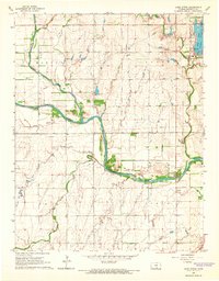
1965 · Lake Afton
USGS Topo · 1:24,000