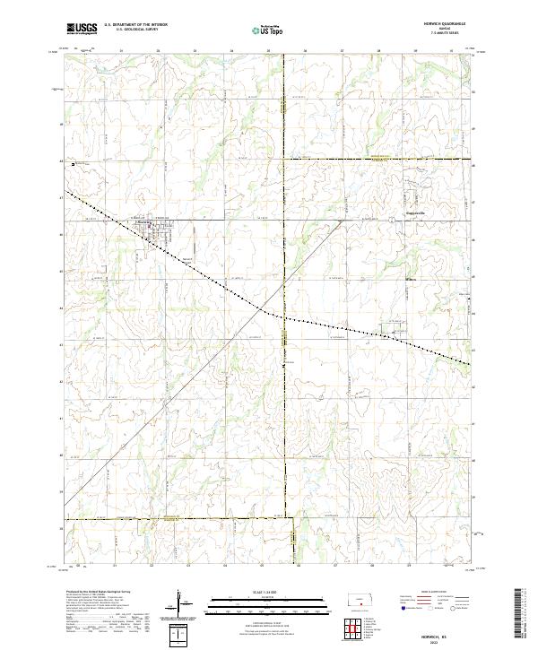
2022 Map of Norwich
USGS Topo · Published 2022About this map
Norwich serves as the central hub of this agricultural landscape in south-central Kansas, where the intersection of W Burns Ave and SE 130 St marks the town's grid. The area is defined by a dense network of section-line roads and several key waterways that drain the prairie, including Sand Cr, Sandy Cr, and Argonia Cr. Small outlying communities like Suppesville and Milton anchor the eastern side of the survey, reflecting the persistent rural settlement pattern of the region.
Find a feature on this map
73 named features on this map. Tap any name to fly to it.
Don’t see what you’re looking for? This feature index may not catch every label — zoom into the map to look around manually.
Map Details
Editions of this 2022 Norwich Map
This is the sole edition of this map. No revisions or reprints were ever made.
Other maps of this area

1889 · Cheney
USGS Topo · 1:125,000

1889 · Caldwell
USGS Topo · 1:125,000

1891 · Cheney
USGS Topo · 1:125,000

1893 · Caldwell
USGS Topo · 1:125,000

1897 · Caldwell
USGS Topo · 1:125,000

1901 · Cheney
USGS Topo · 1:125,000

1955 · Wichita
USGS Topo · 1:250,000

1958 · Wichita
USGS Topo · 1:250,000

1965 · Cheney SE
USGS Topo · 1:24,000
1965 · Lake Afton
USGS Topo · 1:24,000