
1948 Map of Norwich
USGS Topo · Published 1965About this map
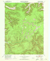
Norwich sits at the junction of several narrow valleys within the township of Norwich, where the waters of Potato Creek and the East Branch Potato Creek converge. This 1940s landscape is defined by its industrial and natural drainage patterns, with numerous runs and brooks cutting through the high plateaus of the Dividing Ridge. The topography is marked by family-named landmarks and hollows, such as O'Brien Hollow and McAllister Hol, reflecting the history of local settlement and land use in this part of McKean County.
Find a feature on this map
39 named features on this map. Tap any name to fly to it.
Don’t see what you’re looking for? This feature index may not catch every label — zoom into the map to look around manually.
Map Details
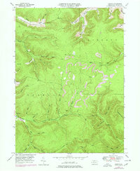
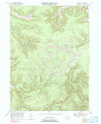
Editions of this 1948 Norwich Map
4 editions found
Other maps of this area

1933 · Smethport
USGS Topo · 1:62,500

1934 · Coudersport
USGS Topo · 1:48,000

1937 · Smethport
USGS Topo · 1:62,500

1938 · Coudersport
USGS Topo · 1:62,500

1948 · Crosby
USGS Topo · 1:62,500

1948 · Emporium
USGS Topo · 1:62,500

1948 · Keating Summit
USGS Topo · 1:24,000

1948 · Emporium
USGS Topo · 1:24,000

1948 · Wildwood Fire Tower
USGS Topo · 1:24,000

1948 · Rich Valley
USGS Topo · 1:24,000