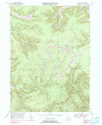
1948 Map of Norwich
USGS Topo · Published 1991About this map
The settlement of Norwich sits at the western edge of this rugged McKean County landscape, where the waters of Potato Creek and the East Branch Potato Creek converge. The terrain is defined by a dense network of steep hollows and narrow runs, including Sattlee Hol, Kimball Hollow, and Railroad Run, reflecting the difficult topography that dictated movement in northern Pennsylvania during the mid-20th century. High points like Dividing Ridge and Evans Hill overlook the deep valleys, while a prominent Pipe Line cuts a straight path across the northern hills, signaling the region’s industrial connection to resource extraction. Revisions from the 1970s, shown in purple, detail evolving vegetation patterns and small road changes across the Liberty and Norwich townships, offering a clear record of how this forested corridor shifted between the post-war era and the late 20th century.
Find a feature on this map
39 named features on this map. Tap any name to fly to it.
Don’t see what you’re looking for? This feature index may not catch every label — zoom into the map to look around manually.
Map Details
Editions of this 1948 Norwich Map
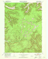
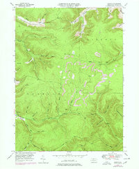
4 editions found

Other maps of this area

1933 · Smethport
USGS Topo · 1:62,500

1934 · Coudersport
USGS Topo · 1:48,000

1937 · Smethport
USGS Topo · 1:62,500

1938 · Coudersport
USGS Topo · 1:62,500

1948 · Crosby
USGS Topo · 1:62,500

1948 · Emporium
USGS Topo · 1:62,500

1948 · Keating Summit
USGS Topo · 1:24,000

1948 · Emporium
USGS Topo · 1:24,000

1948 · Wildwood Fire Tower
USGS Topo · 1:24,000

1948 · Rich Valley
USGS Topo · 1:24,000