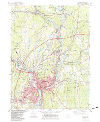
1983 Map of Norwich
USGS Topo · Published 1983About this map
The Shetucket River and Little River converge in this 1980s portrait of New London County industrial centers and expanding residential districts. The city of Norwich serves as the focal point, where the river system transitions into the Thames River below the Falls. The map reveals a landscape deeply marked by its institutional and manufacturing history, featuring large-scale facilities like the Industrial Waste Ponds near Versailles and the extensive grounds of Mohegan Comm College.
Find a feature on this map
95 named features on this map. Tap any name to fly to it.
Don’t see what you’re looking for? This feature index may not catch every label — zoom into the map to look around manually.
Map Details
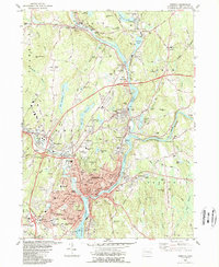
Editions of this 1983 Norwich Map
2 editions found
Other maps of this area

1889 · Stonington
USGS Topo · 1:62,500

1889 · Moosup
USGS Topo · 1:62,500

1892 · New London
USGS Topo · 1:62,500

1892 · Norwich
USGS Topo · 1:62,500

1893 · Moosup
USGS Topo · 1:62,500

1893 · Stonington
USGS Topo · 1:62,500

1893 · New London
USGS Topo · 1:62,500

1920 · Moosup
USGS Topo · 1:62,500

1921 · New London
USGS Topo · 1:62,500

1921 · Stonington
USGS Topo · 1:62,500