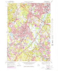
1970 Map of Norwood
USGS Topo · Published 1979About this map
Norwood and its surrounding Norfolk County towns are depicted during a period of significant suburban expansion and infrastructure development. The landscape is defined by the winding course of the Neponset River and the extensive Fowl Meadow, which contrast with the encroaching highway system, including the Mass Turnpike. Local institutions and heritage sites are well-documented, from the Kendall Whaling Museum in Sharon to the Norwood Arena and the County Jail in Dedham.
Find a feature on this map
123 named features on this map. Tap any name to fly to it.
Don’t see what you’re looking for? This feature index may not catch every label — zoom into the map to look around manually.
Map Details
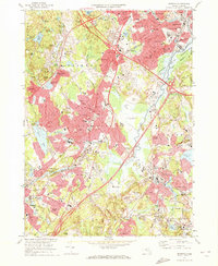
Editions of this 1970 Norwood Map
2 editions found
Other maps of this area

1886 · Dedham
USGS Topo · 1:62,500

1886 · Framingham
USGS Topo · 1:62,500

1887 · Franklin
USGS Topo · 1:62,500

1889 · Franklin
USGS Topo · 1:62,500

1889 · Framingham
USGS Topo · 1:62,500

1893 · Franklin
USGS Topo · 1:62,500

1893 · Boston
USGS Topo · 1:62,500

1894 · Dedham
USGS Topo · 1:62,500

1894 · Framingham
USGS Topo · 1:62,500

1903 · Boston
USGS Topo · 1:62,500